
Greenville Street Directory Walkthrough
Greenville County keeps address-led records in separate systems. A tax record gives a selected-year parcel lead. A map shows the parcel in relation to the road and its adjoining lots. A deed or plat can then connect the land to a recorded transfer. The Greenville street directory method keeps each claim narrow: an owner is not automatically an occupant, a mailing destination is not automatically the property location, and a historic listing is evidence only for its own edition and year.
- Search the Greenville County Real Property form by street or the known map number. Use one criterion only, save the selected tax year, and note the resulting PIN or tax map number.
- Open the same Greenville parcel in County Maps. Confirm the site-address number and street, then inspect boundaries before treating any lot as adjacent.
- Read the property card carefully. Separate the owner, any mailing contact, site address, legal description, and deed or plat references that are actually displayed.
- Use the recorded reference in the Register of Deeds search. Check the legal description or plat as well as the street address, which may be absent or changed in older instruments.
- For a dated household question, consult the South Carolina Room's verified city-directory or street-guide volume for that exact year, then compare it with maps and documents.
That sequence is a Greenville street-by-street workflow, not a current household roster. It is also useful when an old address seems unfamiliar, because the legal description and map number can survive changes in how an address is written.
Greenville Street Search Fields
The Greenville County Real Property Search is the practical starting point for a Greenville street directory lookup. Its first screen is deliberately limited. The form says only one field can be searched at a time, so a street term cannot be combined with a name or map number as a bulk filter. The useful next move is to carry the returned PIN or map number into the map and deed trail.
| Greenville field | Input | Use for a street search |
|---|---|---|
| Select Tax Year | Dropdown | The visible selector runs from 1995 through 2027, with coded and all options. |
| Enter Street | Text | Street-name entry, with no house-number field on the initial form. |
| Enter Map No. | Text | A 13-digit example identifies the parcel route after a street result is resolved. |
| Enter Subdivision | Text | Useful when a Greenville street is tied to a named subdivision. |
| Sales Sheet No. | Text | A separate sales-sheet reference, not a substitute for the site address. |
Greenville County Maps can then find addresses, real estate, roads, polling sites, schools, and parks, while also supporting map queries, printing, exports, parcel mailing labels, reports, and multiple aerial-photo years. The street directory use is to orient a single parcel and its records, not to create a list for contacting people.
Note: Greenville's one-field rule is an important insider tip, because adding extra terms causes the property search to reject the query.
Greenville Parcels By Address
Greenville parcel data separates the words that an address search can otherwise blur. A parcel is a defined tract in the tax and mapping system. Its situs address is the physical property location. The mailing address is where tax communications go, and can be elsewhere. A plat is a recorded map or survey that can identify a lot, block, subdivision, or boundary. These differences matter when Greenville records point to the same land using different labels.
- PIN or Tax Map #
- The stable parcel identifier used to move from a Greenville map to its individual property record.
- Situs address
- The property location, distinct from a tax-contact mailing destination.
- Legal description
- Lot, block, subdivision, or metes-and-bounds language used to identify land in recorded documents.
- Criss-cross directory
- A dated directory arranged to connect addresses and listings, not proof of present occupancy.
The published Greenville GIS parcel schema includes PIN, owner and previous-owner labels, mailing and site-address fields, deed date/book/page, plat book/page, jurisdiction, legal description, subdivision, values, and property characteristics. The County warns that square-footage, bedroom, bathroom, and half-bath details may not be current during its Real Property software transition. Greenville street directory research should use the schema as a bridge between systems, not as a claim that every displayed field is current or filled.
See the County GIS street and address viewer before choosing a parcel by street name alone.
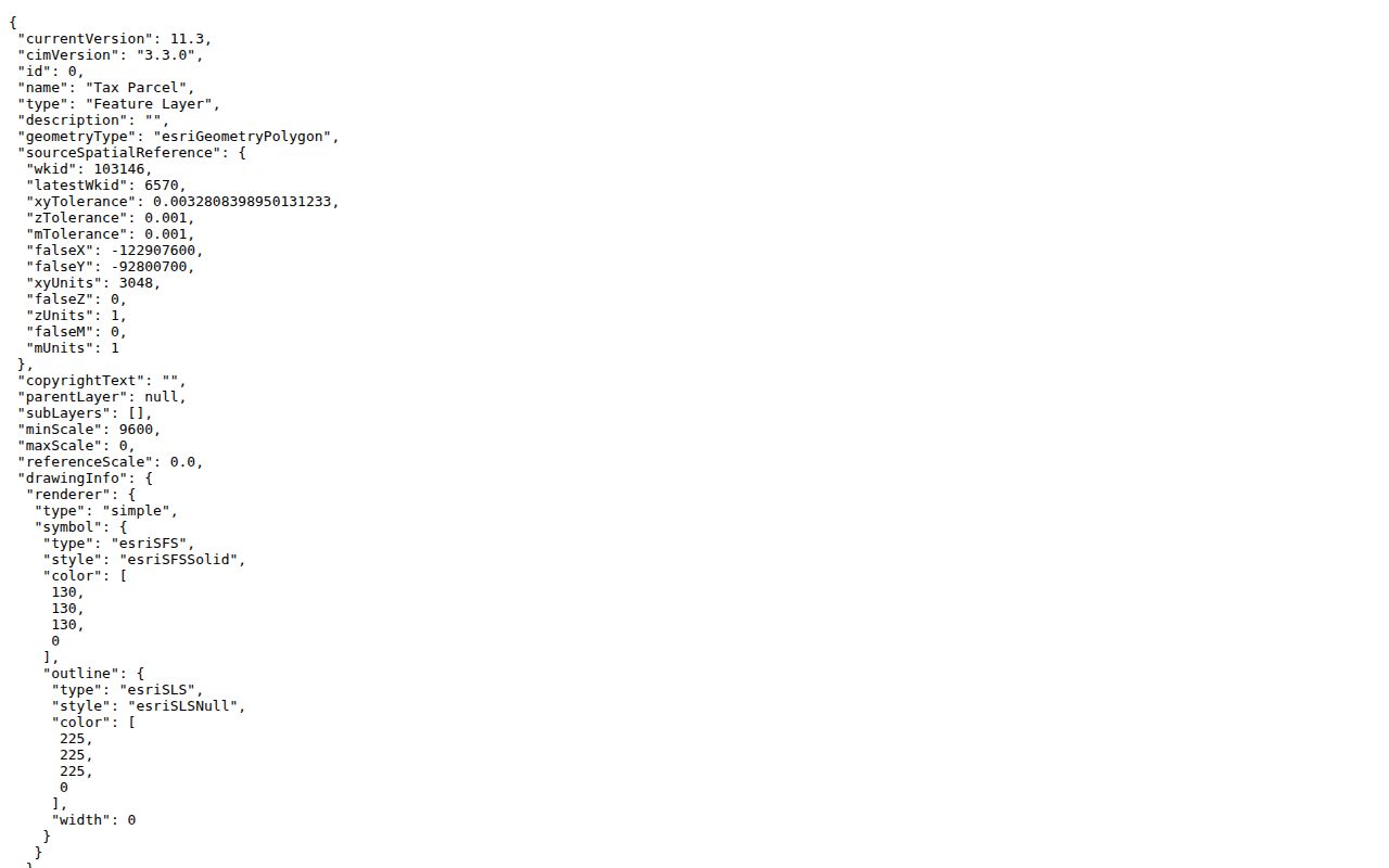
The published field structure shows why Greenville site, mailing, deed, and plat references should be compared rather than treated as interchangeable.
Greenville Street Directory Sources
A Greenville address can produce several related but different record trails. Property and map records are the first two steps. Recorded documents extend the land history. City permits can date a project. Historical collections and old directories supply a dated layer when the question concerns an earlier Greenville street. Each source has a distinct custodian and a distinct limit.
| Greenville source | What it can show | Access route |
|---|---|---|
| Real Property Search | Selected-year parcel lead, street/map/subdivision entries | Public online form, one criterion at a time |
| County Maps | Parcel boundaries, PINs, roads, nearby geography, and aerial context | County map application |
| Register of Deeds | Recorded parties, legal descriptions, document references, deeds, and plats | Online search, counter, copies, or e-certification |
| Building and Permit Center | Address-related project or permit evidence where the record displays it | Public route or a narrow City request |
| Historical Records and directories | Dated conveyance, plat, probate, map, or compiled address evidence | County catalogue, library, archives, or counter |
Greenville County's property form, map, and Register of Deeds records chain through a parcel identifier, party name, book/page, instrument, plat, or legal description. A street name alone is weakest when a deed covers several parcels or uses an older description. The Greenville County Historical Records catalogue and the South Carolina Room are useful fallbacks when the current online layer does not reach the required era.
Greenville Street Deed Chain
Greenville Register of Deeds search guidance points to the current cloud search, older tutorial, pre-1800 deed-book images, Property Alert resources, and electronic certified copies. The office identifies grantor, grantee, mortgagee, and mortgagor indexing from 1787 to the present; it reports deed images from 1787, plat images from 1903, mortgage images from 1919, and miscellaneous-document images from 1973. Those dates differ by record family, so a Greenville street directory should never flatten them into one start date.
Start a Greenville chain with the current owner or known party and the legal-description clue from the Greenville parcel record. A grantor is the transferor named in a deed, while a grantee is the recipient. To work backward, look for the prior transfer that made the current seller a grantee, then compare the parcel description, plat, subdivision, and recorded reference again. A chain of title is this sequence of recorded transfers, not a conclusion supplied by Greenville staff.
The new Greenville search interface requires free registration or sign-in. If online access cannot reach a needed document, the ROD counter is at 301 University Ridge, Greenville County Square, Suite S-2100, Greenville, SC 29601, with weekday hours of 8:30 a.m. to 5:00 p.m. Recording is due by 4:30 p.m. The office lists online copies as generally free, e-certified copies at $10 per document, and separate in-person or phone/mail copy prices. Confirm the current fee schedule before ordering.
A Greenville ROD search screen is linked from the County's cloud-search guide.
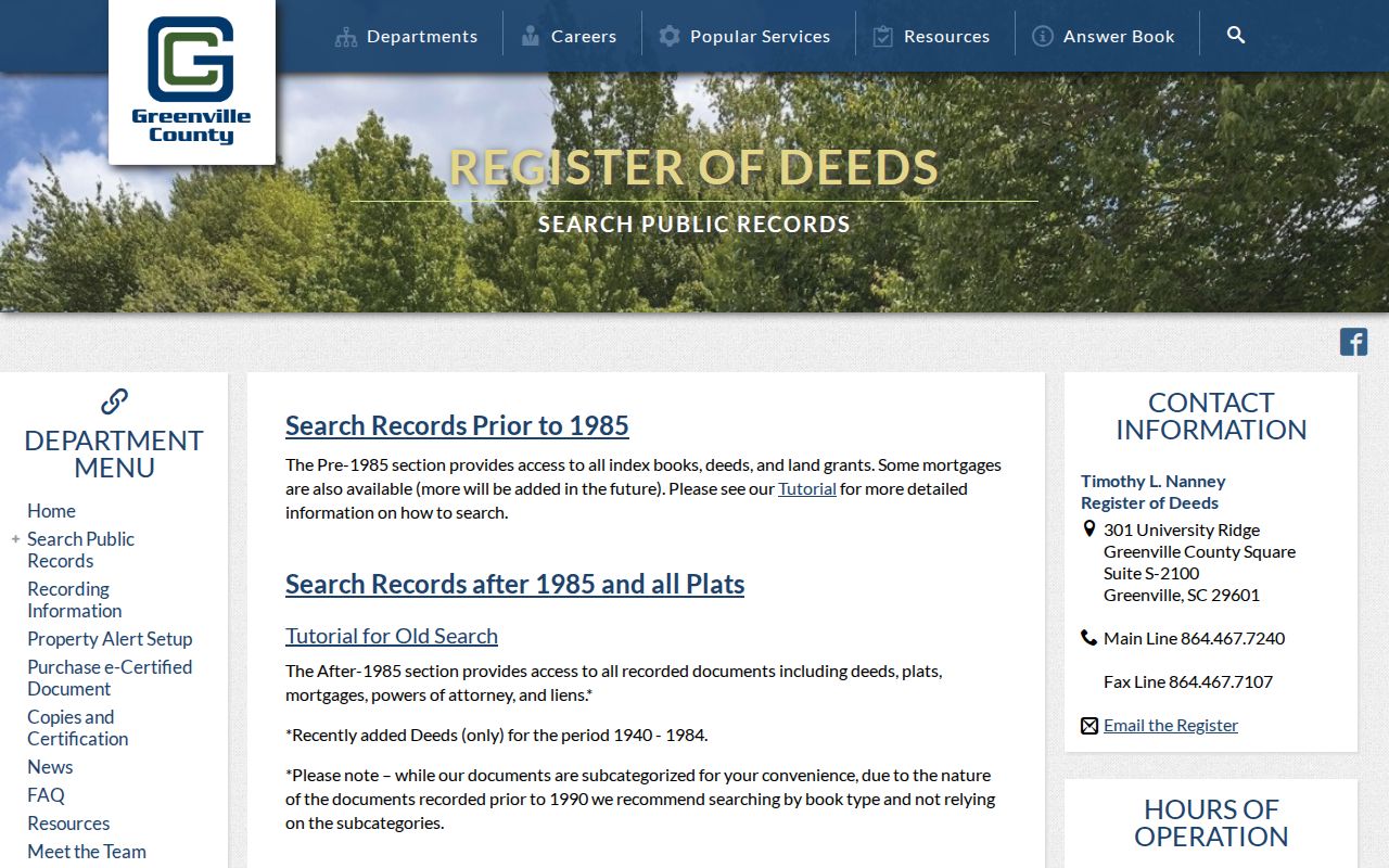
The guide gives a documented route into recorded land material, but the legal description still needs to be checked against the parcel before a record is connected to a street.
Greenville Street Records Offline
Online Greenville street directory results are not the only access channel. The Greenville Register of Deeds counter can provide identified copies and answer procedural questions when the researcher has an owner name, book/page, instrument, or parcel reference. Greenville phone, mail, fax, and electronic certified-copy routes are also documented by the office. A request should identify the particular document sought, rather than ask staff to perform a title search or determine who lives at an address.
Earlier Greenville material may require the ROD's pre-1800 deed-book images, its pre-1985 tutorial, the Greenville County Historical Records collections, microfilm or microfiche, the originating office, or the Greenville South Carolina Room. The historical catalogue includes conveyance, plat, mortgage, execution, jail, sale, writ, probate, will, judgment, and court material, but the County says digitization is incomplete because of the volume and cost. Keep the book, page, instrument, collection, and year in the research notes so another searcher can retrace the same Greenville street record.
Greenville Streets On Maps
Map context keeps a Greenville street directory search from joining the wrong lots. County Maps supports parcel queries and multiple aerial-photo years. City GIS's Historical Imagery Viewer identifies 1920 Sanborn material and aerial layers for 1955, 1965, 1979, 1989, 1997, 2011, 2019, and 2021. A plat can explain the subdivision geometry that a street address alone hides.
Greenville has a real records-geography complication. The City-limit polygon has county-enclave holes, and its updates follow annexation activity. A Greenville postal label, City street-map entry, County parcel, and incorporated-City boundary can identify different things. When an address does not match across a map and document, save the historical and current forms, compare the PIN and legal description, and check the dated map or directory rather than assuming a renumbering table exists. No authoritative Greenville conversion table was located.
The Greenville County Maps viewer is the source for the parcel-and-road view used in this workflow.
Use the map to validate parcel boundaries and road context before moving from one Greenville address to a neighboring record.
Note: A map layer can show where land sits, but it does not establish current residence or a complete household at that Greenville address.
Greenville Street Permit Clues
Permit material can add a narrow date clue to Greenville street research. The City Building and Permit Center is the public starting route for project and permit material tied to an address. A permit may show a project, application, or participant where the underlying record displays one. It does not establish that a person lived at the location or owns it today.
For Greenville material that is not posted, use the City or County records route with a specific address, permit type, date range, and desired format. The South Carolina Freedom of Information Act allows access to nonexempt public records, but it does not require staff to conduct an open-ended address investigation or release protected fields. An address-focused request is clearer and easier for a custodian to assess.
The City permit center is shown below as a record route for project history.
Permit evidence can help date a Greenville improvement, while a recorded deed remains the better source for a documented transfer.
Greenville Street Directory Years
Historic Greenville street directory evidence must be read in its own year. The South Carolina Digital Library has a digitized 1921-22 Greenville, S.C. City and Suburban Directory with an alphabetical listing, business classification, index, and street-and-avenue guide. The South Carolina Room holds Hill directories for selected years from 1931 through 1980, R. L. Polk volumes for selected years from 1983 through 1996 and later, plus a Data Axle or InfoUSA cross-reference series from 2007 onward. Holdings reported by the Greenville County Historical Society begin in 1883.
Older editions use their own abbreviations. In the 1921 volume, h can mean home or residence, bds can mean boards, rms can mean rooms, and (r) can mean rear. A listing may include a name, spouse notation, occupation, organization, and address. It remains a publisher's time-bound compilation, not a continuous resident roll. When a historic household needs modern-record verification, the named-person path belongs in the Greenville city directory collections.
For an in-person or research-request fallback, the Greenville County Library South Carolina Room offers Greenville and Upstate history, genealogy staff, maps, microform, digitized collections, and appointment support.
Greenville Street Privacy Limits
A Greenville street directory cannot show everyone who lives on a street. Greenville parcel and deed systems concern land and recorded parties. They do not provide a reliable list of renters, guests, household members, utility customers, delivery customers, or a person's whereabouts. DMV personal information is protected by the federal Driver's Privacy Protection Act, and voter data has confidentiality rules and protected-address safeguards.
South Carolina's Address Confidentiality Program gives eligible participants a substitute address for agency and court use and mail forwarding. Since January 1, 2026, qualifying current or former judges and certified law-enforcement personnel may request removal of specified home-address, cell, and tax-map information from public web systems. Greenville records can also contain redacted identifiers. Do not try to reconstruct or publicize restricted information from fragments.
Lawful use. Greenville street and address records are for lawful personal, family-history, estate, record-correction, and civic research. South Carolina harassment and stalking laws prohibit using records to watch, threaten, intimidate, or harm another person.
For a missing or nonpublic City or County record, a focused Greenville County FOIA request should name the custodian, record type, parcel or address, date range, and format needed. The custodian can apply exemptions and redactions under the proper law.